
Advance Transportation Design Using Civil 3D & QGIS for Professionals
Become a Highway Design Expert or Infrastructure Professional with zero prior experience required. Move away from traditional site supervision into a high-paying .
Elevate Your Career with Advanced Transportation Software Mastery (Civil 3D + QGIS)
Civil 3D training, QGIS for civil engineers, highway design software course
- Gain deep insights into ISO 19650, AASHTO, and IRC workflows using Civil 3D,Global Mapper & QGIS.
- Master 3D modeling in roads to support alignments,corridor modeling, and earthwork calculations intersections, grading, drainage & highway modeling.
- Collaborate on civil software projects based on real-world road situations, including highways, metro rail networks, urban planning, and smart city projects..
- Build data-rich 3D transportation models with QGIS and InfraWorks for terrain mapping, GIS data processing, and environmental analysis..
- Collaborate with civil software projects in real-world road situations, including highways, metro rail, urban planning & smart city projects.
- Master construction documentation and management by generating highly accurate shop drawings, materials schedules, and comprehensive project reports..
- Converting Google Earth KML/KMZ files, GIS Shapefiles (SHP), and TIFF imagery into precise CAD formats (DWG/DXF).
- Eliminates manual, error-prone calculations. By digitizing alignments, you can instantly optimize Cut-and-Fill volumes (Mass Haul), design proper super-elevations for vehicle safety, and prevent water-logging through integrated drainage grading..
Join Our Next Batch
Fill out the details below and our mentorship team will connect with you.
Why Choose
Advance Transportation Design Course??
Curriculum & 3+ Software
Master AutoCAD Civil 3D, QGIS, Global Mapper, and InfraWorks with hands-on training on live corridor modeling and production-grade highway projects..
Massive Infrastructure Job Growth
With global mega-expressways and smart city projects accelerating toward 2030, the demand for certified, data-driven transportation design professionals is growing exponentially..
Support & Mentorship
Get 100% dedicated placement assistance, rigorous production portfolio reviews, and personalized 1:1 live troubleshooting sessions directly with veteran infrastructure design experts..
Data-Driven Global Market Demand
Tap into a massive $1.2 Trillion global infrastructure pipeline. With the Smart Transportation market growing at a 12.6% CAGR, over 78% of global AEC firms report a severe shortage of hybrid engineers who can seamlessly merge Civil 3D design with QGIS geospatial data..
Accelerated Salary Growth
Switch from low-paying site roles to design tracks with an immediate 50% to 120% salary jump. Target premium corporate entry packages from ₹4 LPA to ₹8+ LPA that scale rapidly..
Global Reach via Free International Webinars
Gain elite authority through our Free International Freeway Design Webinars streamed globally across LinkedIn and YouTube, connecting you directly with global recruiters and AEC experts..
For Freshers
Graduate civil engineers,Site Engineers & surveyors ,.
For Professionals
Experienced site engineers, surveyors, and traditional 2D drafters.
Career Opportunities in Infrastructure Design & BIM
Highway Design Engineer
GIS Infrastructure Analyst
Infrastructure BIM Coordinator
Transportation Visualization Specialist
Terrain Data Specialist (LiDAR)
Infrastructure Estimator & Quantity Surveyor
Alignment & Route Feasibility Engineer
Infrastructure Digital Twin Specialist
Next Batch: 10 Auguest 2026
Limited seats, apply now.
Easy Application Flow
Apply to Course
Submit your background details for review.
Mentorship Call
15-minute goal alignment session.
Profile Screening
Evaluation & official offer letter.
Payment
Reserve your seat to start the journey.
Start your Application
Global AEC Leaders
Mentorship from experts.
Practical Mastery
3+ software with real-world exposure.
ISO Certification
Globally recognized.
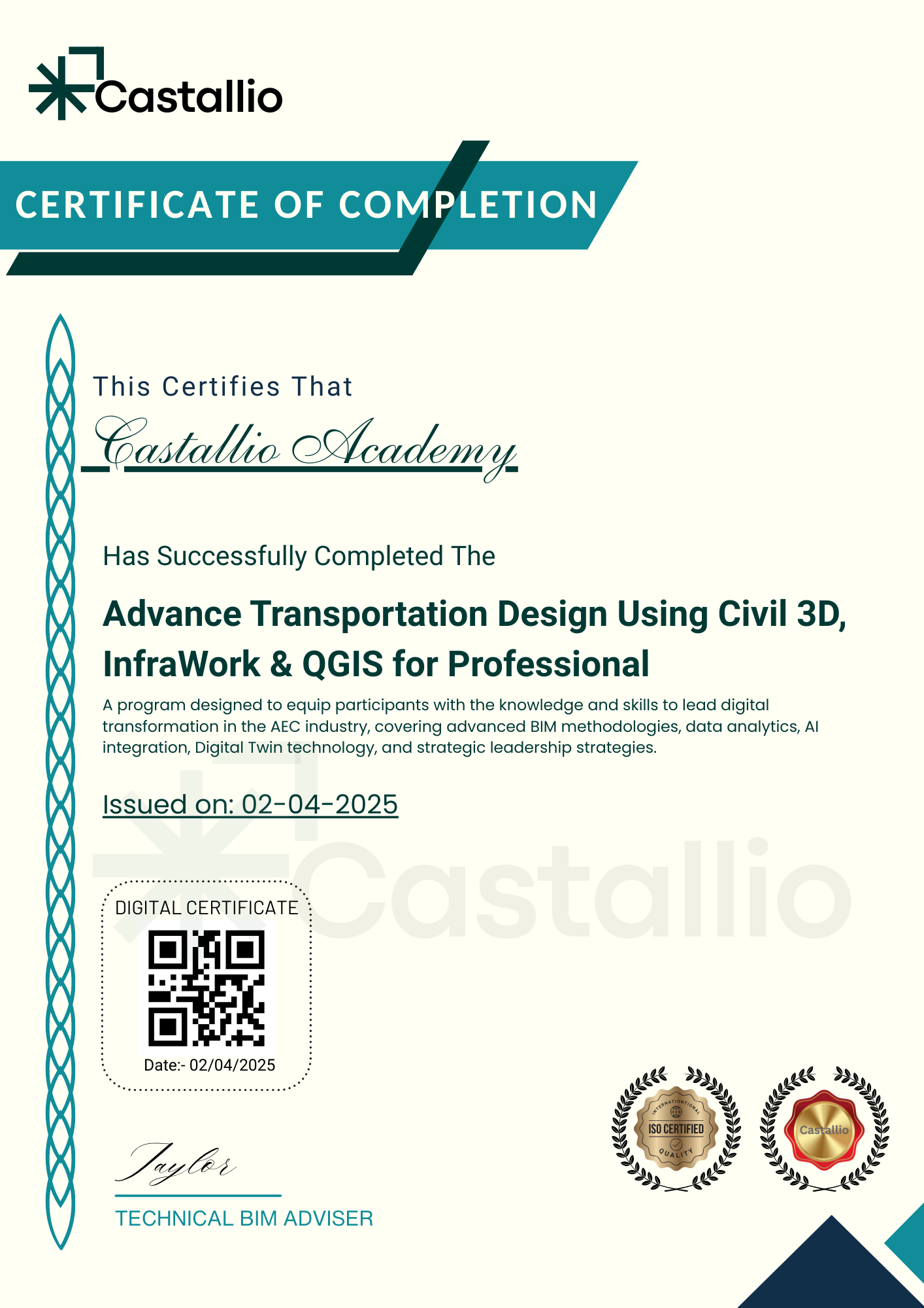
Get Certified Globally
Master Advanced Civil 3D & QGIS.